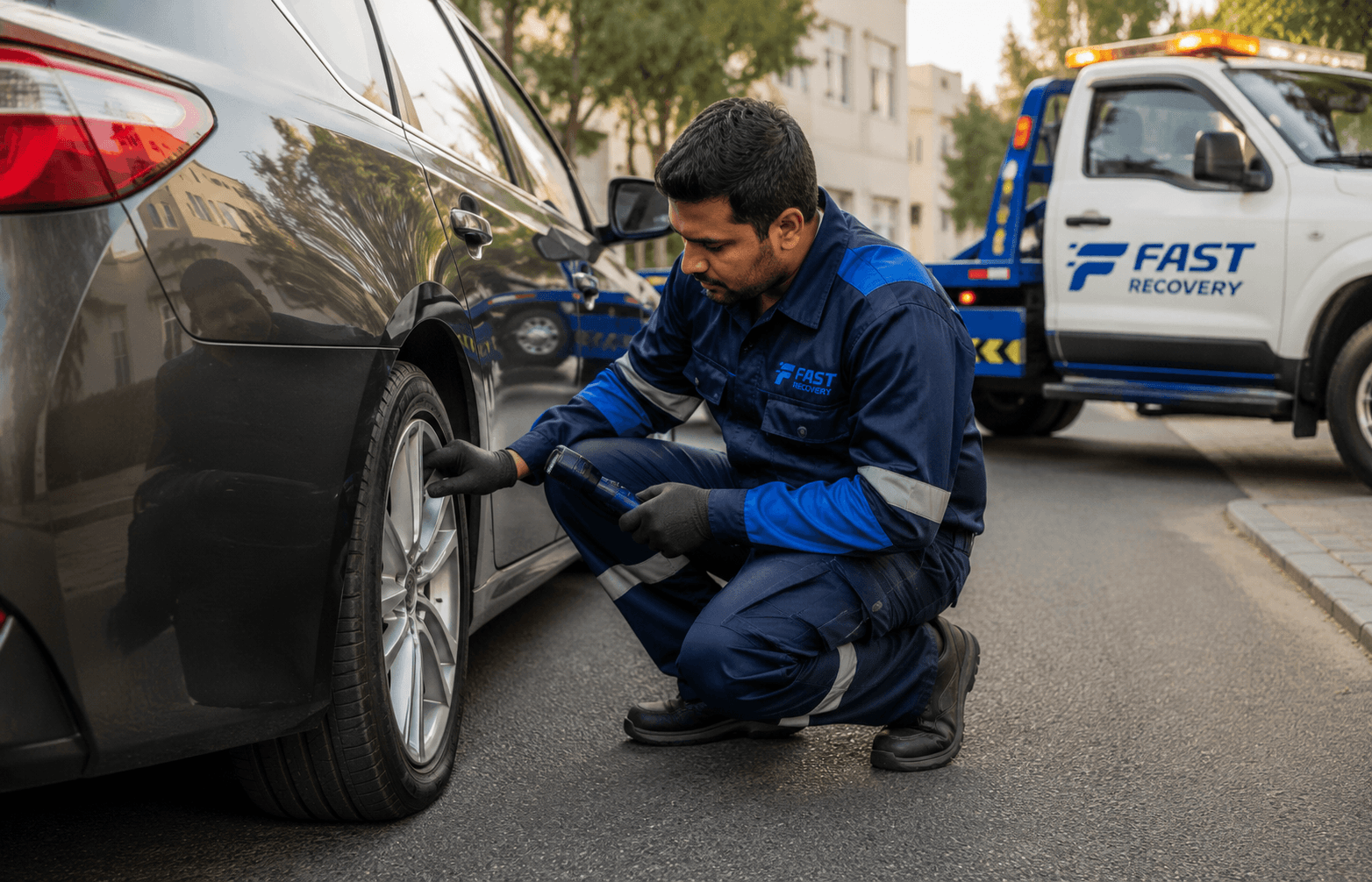
How do you share your live location for vehicle recovery?
Send either a live location or an accurate fixed pin, then add the road direction, nearby landmark and any parking or access restrictions.
A fixed pin normally suits a vehicle that will remain stationary. Live sharing can help when the position may change or the recovery driver needs updated movement.
Why does a recovery driver need your exact location?
A map pin helps identify where the vehicle has stopped, but it may not explain the correct carriageway, parking entrance, terminal, basement level or safe approach route.
Two vehicles can appear close together on a map while being separated by a central reservation, flyover, tunnel, airport access route or controlled parking entrance.
- Exact road or property
- Direction of travel
- Correct side of a divided road
- Nearest exit or junction
- Hard shoulder, service road or parking area
- Building or parking entrance
- Basement level and height restriction
- Vehicle’s exact position
- Safe access for the recovery truck
What is the difference between a live location and a fixed map pin?
A live location updates while the phone moves. A fixed pin marks one selected place and is usually clearer for a vehicle that will stay where it stopped.
For most stationary breakdowns, send the exact current location or a dropped pin and then add written access details. Use live location when the vehicle is being moved to another safe place, when the original pin is inaccurate or when the driver needs your updated position.
| Comparison point | Roadside assistance | Vehicle recovery |
|---|---|---|
| Position | Updates while the phone moves | Marks one selected place |
| Best for | A position that may change | A stationary broken-down vehicle |
| Sharing duration | Continues for the chosen period | Sent once |
| Battery and data use | May use more while updating | Normally limited to sending the pin |
| Recovery use | Helps when the driver needs updated movement | Helps mark the exact vehicle position |
| Privacy | Must be stopped or allowed to expire | Does not continue tracking movement |
| Extra information | Road direction and access details still required | Road direction and access details still required |
What should you check before sending your location?
Check that the phone’s location services and mobile connection work, then confirm the displayed position matches where the vehicle has actually stopped.
If the phone shows a nearby building or the wrong side of the road, do not send the pin without explaining the difference.
- Move the vehicle away from active traffic where safely possible.
- Switch on hazard lights when stopped because of an emergency.
- Do not stand in moving traffic to improve phone signal.
- Turn on the phone’s location services.
- Allow the relevant app to access location when prompted.
- Check that the marker is close to the vehicle.
- Zoom in before sending.
- Confirm the correct carriageway or side of the road.
- Keep sufficient phone battery available.
- Open the verified FAST RECOVERY contact.
When should you send your current location instead of live location?
Send your current location when the vehicle is stationary and the map marker accurately identifies where it stopped. This provides one fixed location rather than continuous movement updates.
A fixed location is usually easier to use when the car will remain in the same position until collection.
- 1
Open the FAST RECOVERY chat.
- 2
Open the location-sharing menu.
- 3
Review the displayed current location.
- 4
Zoom in and check the road or parking area.
- 5
Send the current location.
- 6
Add direction, exit, landmark and access notes.
How do you send a dropped pin from Google Maps?
A dropped pin marks a fixed point and is often the clearest option for a vehicle that will remain stationary until recovery arrives.
Place the pin where the vehicle is located, not at the nearest building, destination workshop or opposite side of the road.
- 1
Open Google Maps.
- 2
Find your current position.
- 3
Zoom in to the vehicle’s exact position.
- 4
Touch and hold the map to drop a pin.
- 5
Open the place or address card.
- 6
Tap Share.
- 7
Choose WhatsApp.
- 8
Select the FAST RECOVERY conversation.
- 9
Add the road direction and landmark.
Which location-sharing method should you use?
Choose the method based on whether the vehicle will remain stationary, whether GPS is accurate and whether the recovery driver needs continuing movement updates.
Vehicle stationary on a normal road
Recommended: Fixed map pin plus road direction and landmark.
Vehicle moving to a safer area
Recommended: Live location until the new stopping place is confirmed.
High-speed road or divided carriageway
Recommended: Pin plus exact direction, road name and nearest exit.
Underground parking
Recommended: Parking entrance pin plus building, level, bay and height restriction.
Dubai International Airport
Recommended: Pin plus terminal, arrivals or departures, parking building, level and entry road.
Mall or large commercial property
Recommended: Pin the correct entrance and explain the parking zone or service access.
GPS marker appears inaccurate
Recommended: Drop a manual pin and add written directions or a landmark.
Weak mobile connection
Recommended: Call FAST RECOVERY and describe the road, direction, nearest exit and visible landmark. Send the link when connectivity returns.
What information should you send with the location?
A location link identifies a point on the map, but the recovery provider still needs road, vehicle and access information to plan the approach.
- Road name and direction of travel
- Nearest exit, junction or interchange
- Nearby petrol station or landmark
- Hard shoulder, service road or parking position
- Building, parking entrance, basement level and bay
- Height restriction
- Vehicle make, model and colour
- Registration number where requested
- What happened
- Whether the engine starts
- Whether the vehicle can roll, steer and brake
- Visible tyre, wheel or accident damage
- Intended destination
- One or two clear photographs where useful
Example: Location shared. White Nissan Patrol in Terminal 3 parking, Level 2, Zone B. The vehicle is near Lift Lobby 4. Height limit is 2.1 metres. The engine starts but the vehicle will not move.
How should you describe your location on a Dubai road?
Add the direction of travel because the same Dubai road may have several carriageways, exits, flyovers and service roads that cannot be reached from the same approach.
Sheikh Zayed Road
Sheikh Zayed Road towards Abu Dhabi, after Exit 47, stopped on the hard shoulder.
Al Khail Road
Al Khail Road towards Business Bay, before the Meydan exit, right-side shoulder.
Sheikh Mohammed bin Zayed Road
E311 towards Sharjah, near the Mirdif exit, service-road side.
Airport Road
Airport Road towards Dubai International Airport, near the Terminal 1 exit.
Dubai International Airport
Terminal 1 arrivals parking, Level 3, Row C, near Lift Lobby 2.
Underground parking
Building name, rear service-road entrance, Basement 2, Bay 184, height restriction 2.0 metres.
What should you do if the map shows the wrong location?
Do not send an obviously inaccurate marker without explanation. Refresh the map, zoom in and place a manual pin where the vehicle is actually located.
- 1
Confirm location services are enabled.
- 2
Allow the app to access location.
- 3
Wait briefly for the map position to update.
- 4
Check whether the marker is on the correct road.
- 5
Zoom in and manually drop a pin.
- 6
Send the entrance pin when underground GPS is inaccurate.
- 7
Add the parking level or road direction.
- 8
Send a photograph of a road sign, exit board or landmark.
- 9
Remain available by phone.
What location-sharing mistakes delay recovery?
Incomplete or inaccurate location details can send a recovery vehicle to the wrong carriageway, entrance, level or property.
- Sending only a building name
- Sending the destination instead of the vehicle location
- Pinning the opposite carriageway
- Omitting direction of travel
- Sending a screenshot without a clickable map link
- Sharing a landmark but not the vehicle position
- Forgetting the parking level or height restriction
- Sending an expired live-location link
- Sharing with the wrong contact
- Moving after a fixed pin without updating the provider
- Turning off the phone immediately after sharing
- Writing only “I am near the airport”
- Assuming every entrance can be used by a recovery vehicle
How can you share your location more privately?
Share location only with the verified recovery contact, use a limited sharing duration where possible and stop ongoing sharing once the driver has found the vehicle or recovery is complete.
- Verify the FAST RECOVERY contact.
- Avoid public groups.
- Use a fixed pin when continuous sharing is unnecessary.
- Choose the shortest practical sharing period.
- Stop sharing after collection.
- Review active sharing in the app.
- Do not add unrelated personal information.
- Keep the link in the direct service conversation.
What happens after FAST RECOVERY receives your location?
FAST RECOVERY reviews the map position, vehicle details, access and destination before confirming a suitable service and approach.
- 1
Location is reviewed
FAST RECOVERY checks the map position, road direction and access information.
- 2
Vehicle details are confirmed
You may be asked whether the vehicle starts, rolls, steers and brakes.
- 3
Access is checked
Parking height, terminal access, road position or building entry may need confirmation.
- 4
Service type is confirmed
The suitable roadside, towing or flatbed option is reviewed.
- 5
Destination and price are confirmed
Confirm where the vehicle needs to go and the service scope before dispatch.
- 6
Driver approaches the location
Keep your phone available for access or landmark questions.
- 7
Location sharing is ended
Stop any ongoing live location once it is no longer required.
Response time depends on traffic, location, access, vehicle condition and recovery-vehicle availability.
Frequently asked questions
Send a current location or fixed pin when the vehicle will remain stationary. Send a live location when your position may change or when the recovery driver needs continuously updated information. Always add the road direction and access details.
Open the FAST RECOVERY chat, use the attachment control, choose Location and select either the live-location or current-location option. Check the map marker before sending and add the road direction or nearby landmark.
Yes. Open Google Maps, touch and hold the vehicle’s position to drop a pin, open the location card, choose Share and select WhatsApp. Add the direction of travel and access instructions.
Refresh the map, check location permissions, zoom in and drop a manual pin. If the vehicle is underground, send the parking entrance pin and add the building, level, bay and height restriction.
A pin may not identify which side of a divided road the vehicle is on. The direction helps the recovery driver choose the correct carriageway, exit and approach.
Send the building name, entrance, parking level, bay or zone, height restriction, ramp access and whether the vehicle can roll and steer.
Send the terminal, arrivals or departures area, parking building, level, access road, height restriction and live map pin.
Try sending a fixed pin or map link when connectivity is available. If it does not send, call and provide the road name, direction, nearest exit and visible landmark.
Yes. Stop ongoing location sharing when the driver has found you or the service is complete. A fixed map pin does not continue updating your movement.
Call emergency services when there is immediate road danger, injury, fire, serious smoke or a major accident obstruction. Police can be reached on 999 in the UAE.
What is the practical next step?
Prioritise safety, share clear location and vehicle information, and avoid guessing the required recovery method. FAST RECOVERY can review the reported condition, access and destination when professional assistance is needed.
About this guide
This guide was prepared to help drivers share an accurate vehicle location when requesting roadside assistance or vehicle recovery in Dubai. It explains how to use common location-sharing tools and what road, parking and access details should accompany the map link.
App interfaces can change over time. The core process should be reviewed against current Android, iPhone, WhatsApp, Google Maps and Apple Maps versions during every major guide update.
- Published
- 1 August 2026
- Last reviewed
- 2 August 2026
- Category
- Recovery Preparation Guide
- Written by
- FAST RECOVERY Editorial Team
- Reviewed by
- FAST RECOVERY Operations Team
- Service area
- Dubai, United Arab Emirates
Guide updates
Latest content review
App instructions, official external references, internal links, FAQ content and structured data reviewed.
Initial publication
Initial guide published with WhatsApp, Google Maps and iPhone location-sharing instructions, Dubai road examples, troubleshooting and privacy guidance.
Based on what you’re reading
Recommended for this section
Recommended readingWas this guide helpful?
READER CONTRIBUTIONS
Comments and guide updates
Have a relevant question, experience or correction? Submissions will be reviewed before publication or use once secure storage is configured.
Comment guidelines
- Keep contributions relevant and do not include personal contact, vehicle-registration, insurance or sensitive information.
- Promotional spam, abusive material and unsupported safety instructions will not be published.
- Comments are reviewed and are not an emergency contact channel.
Read the Privacy Policy before sharing personal information.
Reader comments
No approved comments yet. You can submit a relevant question or observation for review once secure moderation is configured.
Share your experience or question
Comments are reviewed before publication. Your email address would never be displayed publicly.